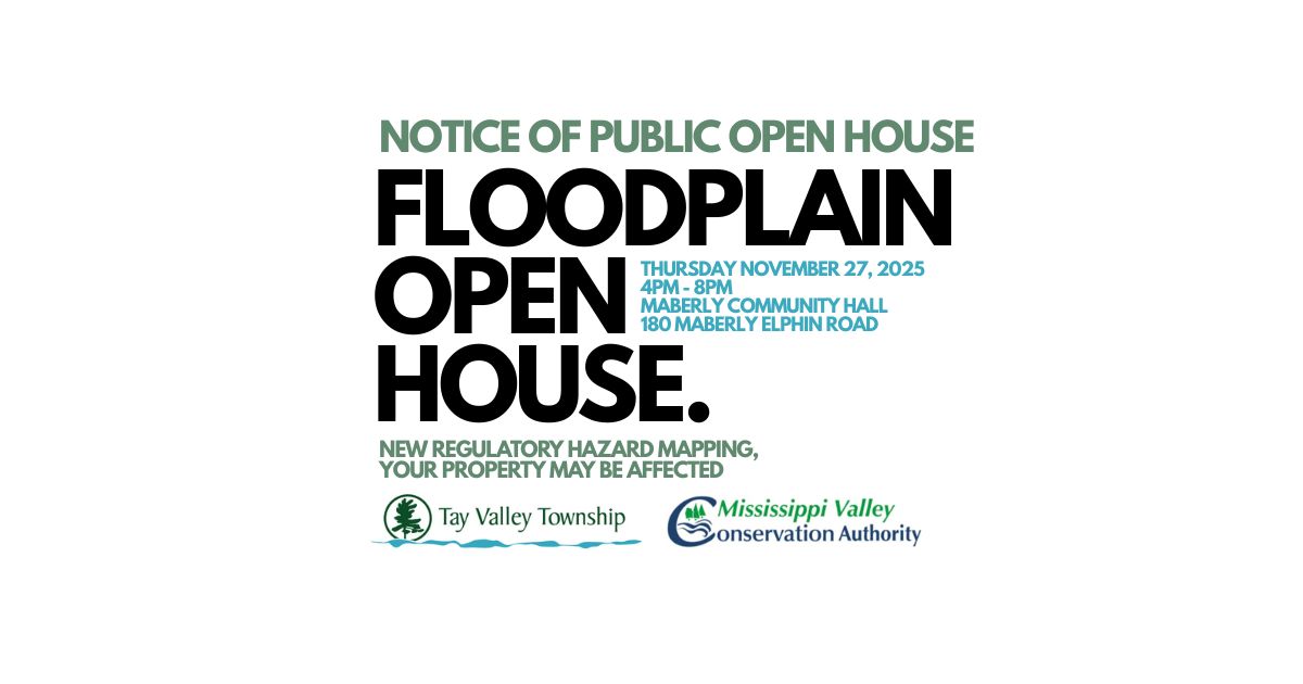
New Regulatory Hazard Mapping – Your property may be affected
The Mississippi Valley Conservation Authority (MVCA) recently completed regulatory flood and erosion hazard mapping for the Fall River watershed from the Village of Maberly to the Mississippi River.
The project was carried out in cooperation with Lanark County and Tay Valley Township with funding provided through the federal Flood Hazard Identification and Mapping Program.
Notice of Public Open House
Thursday November 27, 2025, 4:00pm – 8:00pm
at the Maberly Community Hall 180 Maberly Elphin Rd., Maberly.
Draft hazard maps will be presented at the Open House and MVCA staff will be available to receive comments and answer questions.
To view draft updated hazard mapping visit: Floodplain Mapping Fall River or Visit the Mississippi Valley Conservation Authority
If you would like further information regarding the study, please contact Bryan Flood by email or by phone at (613) 253-0006.
Comments will be received until December 4, 2025, at 4:00 p.m.

Get In Touch
Stay up-to-date!
Subscribe to this page to get notified when this page has updated content.