What is Source Water Protection?
Source water is the raw water drawn from lakes, rivers or underground aquifers to supply people with drinking water. "Source Water Protection" or "Source Protection" means protecting these sources of drinking water from contamination and overuse.
If you live in a Drinking Water Protection Zone, you can help protect the Source Water by making small changes in your everyday life. You may already be doing things such as using environmentally friendly cleaning products, properly disposing of hazardous substances, cleaning up pet waste, regularly testing your well water and maintaining your vehicle to prevent fluid leeks.
For more information, contact the Planner or the Mississippi-Rideau Source Protection Region website.
Source Water Protection Plan
The Ministry of Environment's Mississippi-Rideau Source Protection Plan was first approved on August 28, 2014. The two Conservation Authorities worked together to develop the Source Protection Plan, required by Ontario's Clean Water Act, 2006. The science-based plan sets forth policies to keep pollutants out of rivers and underground aquifers that supply municipal drinking water systems in the region.
Intake Protection Zone
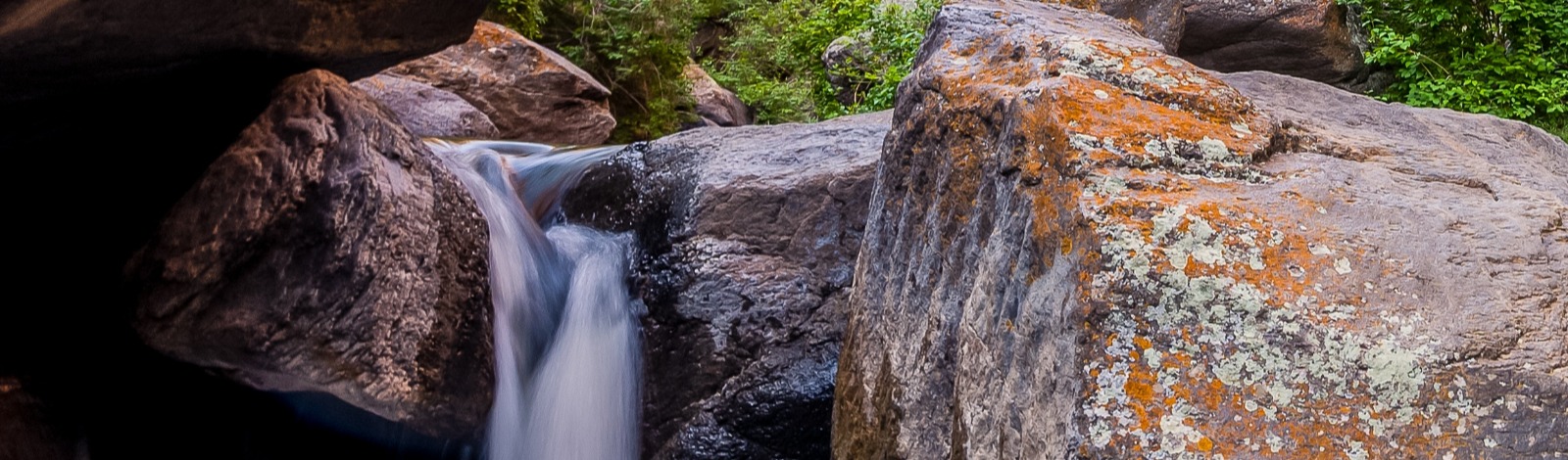
In Tay Valley Township, the area along the Tay River is in the "Intake Protection Zone" for the municipal water supply of the Town of Perth. The Source Water Protection Plan developed for this region identifies the risks and protection measures for properties in different sub-zones.

Vulnerability Scores
Contaminants spilled into waterways or running off from nearby land can reach an intake within hours. It is possible for the Municipal water intake to be closed until the pollutant passes, however, enough warning is needed to close the intake at the right time.
Water movement in the area has been analyzed to determine the length of time it takes for a contaminant to reach an intake. The information has been used to draw “lines” called Intake Protection Zones (IPZ). The zones were assigned vulnerability scores on a 10 point scale.
IPZ Scored 10 is the area immediately adjacent to the intake and it’s the area of highest concern. Pollutants entering this zone can reach intake quickly with little or no dilution.
IPZ Scored 8 and 9 is based on the calculation of how far water can travel in a precise time period. The zone has been determined by factoring flow, wind and other environmental impacts.
Source Water Protection Map
Visit the new Source Water Protection Map now available on Ontario.ca.
This interactive map provides a province-wide view of more than 970 wellhead protection areas and 150 intake protection zones within Ontario's source protection areas. With each customized search, you can access over 20 layers of information.
Using this map, the public is able to see the wellhead protection areas and intake protection zones of the lakes, rivers and aquifers that supply their drinking water.
This tool provides the public with information needed to make informed property-based decisions. As well, this tool will help ministries and other agencies implement source protection plan policies.
Additional information about Source Water Protection is available on Conservation Ontario’s website.